|
Ciel D'Octobre - St Pie de Guire, Québec
 Information
 Location  Weather (Forecast)  Launch Log
|
|
| Affiliated Club: |
Club québecois de fuséonautique |
| Date: |
2011/10/8 - 2011/10/9
*CIRN uses the computer date format YYYY/MM/DD
|
Status:
|
Completed
|
|
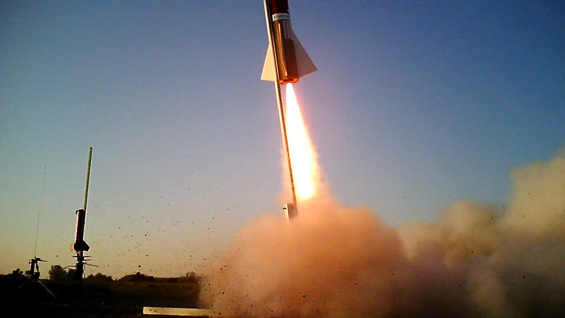
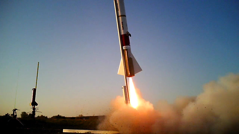
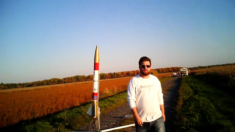
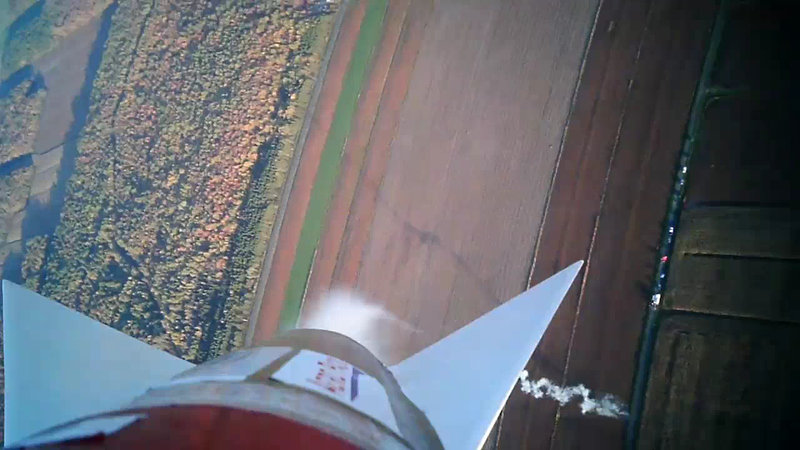
Season closer event.
- St-Pie-de-Guire
- Canadian Assocation of Rocketry
- October 8 & 9 2011
- 6000 foot ceiling
- 1 square Km area to fly
- Motors from "A" to "M"
IMPORTANT: Tom, our motor vendor, will only attend the event on SATURDAY. If you need motors, they'll have to be picked up on that day. If you cannot be there Saturday, get in touch with the crew on the mailing list so we can set up a transaction for you.
 Weather status & forecast updates Weather status & forecast updates
The weather is "GO" for launch, but we'll have to keep an eye on winds during the event. Indian Summer is rolling in this weekend and it's going to set the stage for excellent weather with s... [ More Weather Info]
 Location information & directions Location information & directions
Full Google Map: http://maps.google.com/maps?f=d&source=s_d&saddr=&daddr=46.006799,-72.731209&hl=en&geocode=&mra=mift&mrsp=1&sz=14&sll=46.00662,-72.730608&sspn=... [ More Location Info]
|
Weather status & forecast updates
The weather is "GO" for launch, but we'll have to keep an eye on winds during the event. Indian Summer is rolling in this weekend and it's going to set the stage for excellent weather with some wind.
The entire weekend is forecasted as sunny and warm. Aside for minor worries regarding wind, where gusts may or may not exceed 30km/h, the constant wind data shows we won't experience sustained winds too far above 15km/h. While we recommend members review their pre-flight statistics to avoid losing aircraft, the conditions shouldn't pose a problem for launches.
Throughout the weekend, night temperatures should stay above 5C, making camping much easier than it usually is at this time of the year.
Daytime temperatures will range between 18 to 22C.
Written on 2011/10/05
Final decision 2011/10/05 @8pm. Weather is already "GO" as of now.
Sources:
http://www.intellicast.com/Local/Weather.aspx?location=CAXX0672
http://www.weatheroffice.gc.ca/city/pages/qc-2_metric_e.html
http://www.windfinder.com/forecast/nicolet_lac_saint_pierre&wf_cmp=7
http://www.accuweather.com/canada-forecast.asp?partner=accuweather&postalcode=J2B%201A1&metric=1&set=10
http://www.weather.com/weather/weekend/CAXX0672
http://www.wunderground.com/q/zmw:00000.3.71967
http://www.meteomedia.com/weather/caqc0650?ref=topnav_weather_savedcity
|
Post-event description
|
Web links, pictures, documents & more
|
Location information & directions
Full Google Map: http://maps.google.com/maps?f=d&source=s_d&saddr=&daddr=46.006799,-72.731209&hl=en&geocode=&mra=mift&mrsp=1&sz=14&sll=46.00662,-72.730608&sspn=0.025039,0.081797&ie=UTF8&t=h&z=14
The first step is to reach autoroute 20 on the south shore of Montreal. For local residents, this is pretty easy. If you don't know how, just check a Quebec map!

Take autoroute 20 East towards Drummonville. Take Exit 175 and take the 143 north.

On the 143 (north), go through the village of St-Bonaventure (there are two consecutive right angle turns in the village itself).

- Turn right on the "2e Rang"
- Roll on the "2e Rang" for 0.8km
- Turn Left on the "10e Rang"
- Roll 4.4km on the "10e Rang"
The launch site is on your left (western side of the road - a dirt road to be exact). Look for a sign that shows "TRIPOLI-QUEBEC FUSEES" including orange cones and follow the instructions on the placcard.
If you see an airplane hangar, you're too far. Turn back and roll for about 200 meters.

Full Google Map: http://maps.google.com/maps?f=d&source=s_d&saddr=&daddr=46.006799,-72.731209&hl=en&geocode=&mra=mift&mrsp=1&sz=14&sll=46.00662,-72.730608&sspn=0.025039,0.081797&ie=UTF8&t=h&z=14 |
Launch log
| Seq #. Flight ID |
Rocket |
Owner |
Date |
Alt. |
Motor |
HPR |
Recovery |
Status |
Cert. |
Notes |
|
FL-4DA
|
Evasive Action UTFF II
(C-227F)
|
Chris
|
10/08
|
1815.00ft Altimeter |
54mm Ces Imax 502-I120-15
|
X |
Tumble (no device) 0in
Dome chute 36.00in w. 8.00in (spill)
|
Fail
(Recovery) |
-- |
Main chute failed to eject; shearpins did not break (not enough gunpowder) |
|
|
FL-4D9
|
Evasive Action AMF
(C-2242)
|
Chris
|
10/09
|
2302.00ft Altimeter |
54mm Ces 1281-K360-13
|
X |
Dome chute 60.00in w. 12.00in (spill)
|
Successful |
-- |
Overly curved trajectory, good deployment on both segments, but parachute failed to fully deploy due to tangle. Parachute remained in a stall for final descent. No notable damage to report. |
|
*The log above is only the PRELIMINARY log, and has not yet been reviewed by the event's LCO.
**If the event has not yet taken place, the preliminary launch log displays the flights some users intend to perform. |
|
|


